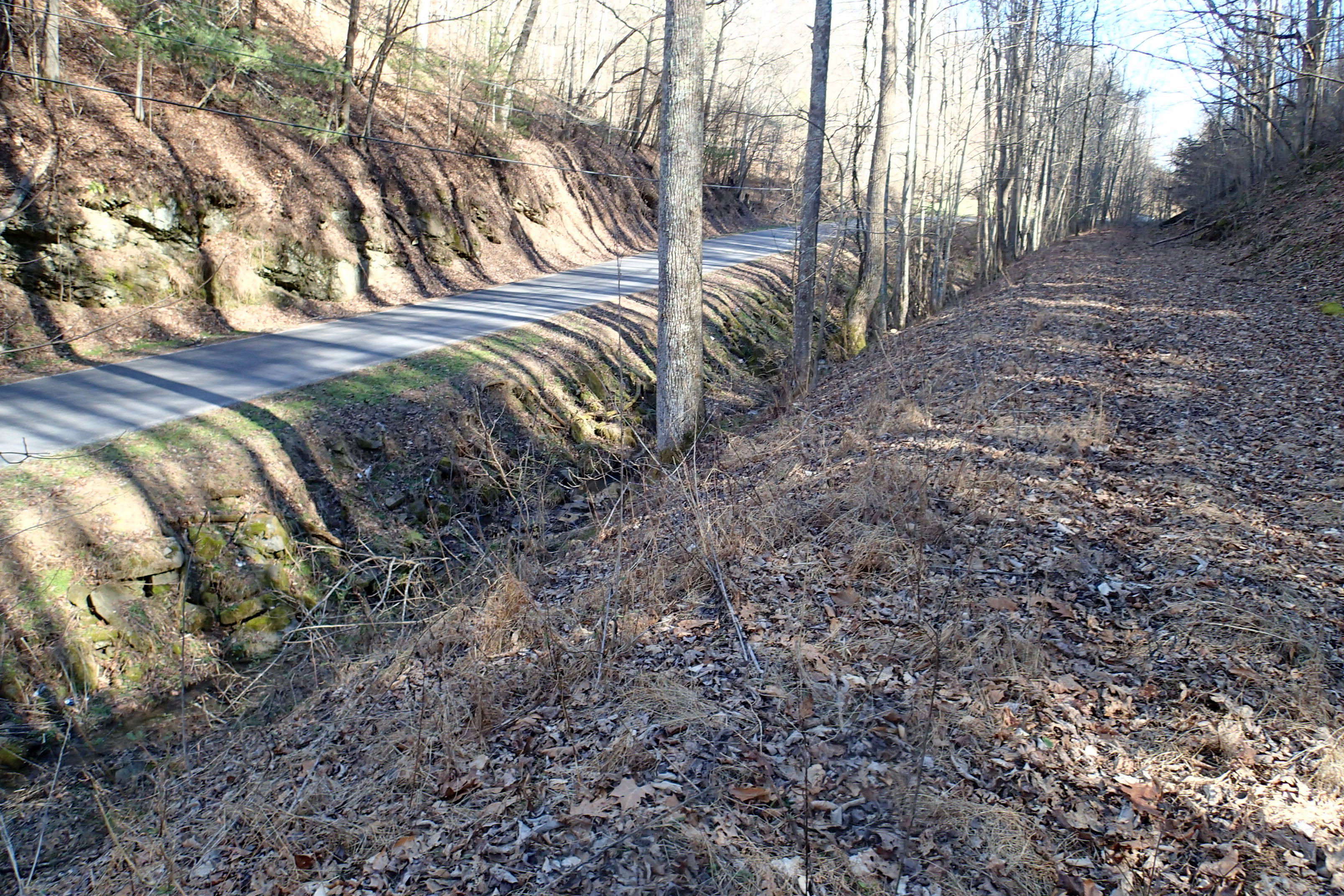
 The Mendota Trail
 is a new Rails-to-Trails walking, hiking, biking Park between Bristol, Va and Mendota, Va following the old Southern Railroad route and is now owned by Washington County, Virginia. The owned Right-of-Way is at least 20 foot wide (more often 50') and stretches almost 12.7 miles.
Mendota Trail Rules for Use
The Mendota Trail
The Mendota Trail is a new Rails-to-Trails walking, hiking, biking Park between Bristol, Va and Mendota, Va following the old Southern Railroad route and is now owned by Washington County, Virginia. The owned Right-of-Way is at least 20 foot wide (more often 50') and stretches almost 12.7 miles.
Mendota Trail Rules for Use
Where is the Trail I can use?
Trail and Parking Map
Trail Mileage and Trestle Map
Trail and Access Map
Mendota Trail Brochure 2023
MendotaTrail.org Mendota Trail website
Mendota Trail Newsletter V1 Fall 2017
Mendota Trail Newsletter V2 Spring 2018
Mendota Trail Newsletter V3 Winter 2018
Mendota Trail Newsletter V4 Special Edition February 2019
Mendota Trail Newsletter V5 July 2019
Mendota Trail Newsletter V6 October 2019
Mendota Trail Newsletter V7 June 2020
Mendota Trail Newsletter V8 November 2020
Mendota Trail Newsletter V9 April 2021
Mendota Trail Newsletter V10 September 2021
Mendota Trail Newsletter V11 December 2021
Mendota Trail Newsletter V12 April 2022
Mendota Trail Newsletter V13 June 2022
Mendota Trail Newsletter V14 November 2022
Mendota Trail Newsletter V15 May 2023
Mendota Trail Newsletter V16 November 2023
Mendota Trail Newsletter V16 November 2023
Full Keyed Mendota Trail Map from 1-81 to Mendota ScribbleMaps
Full Mendota Trail Map from 1-81 to Mendota MapMyRide
Mendota Trail I-81 line to Benhams ~trestle #5 - 6+ miles
Mendota Trail Mendota to Leonards - ~5 miles
Old Lonesome Pine Special Brochure
Washington County iGIS map: property lines and owner information
[using 2011 (winter) Aerial Imagery under Map Layers gives the best view of trail and trestles]
Virginia Statewide Shared-use Path Brocure
Bristol VA 2000 Mendota Trail Plan PDF (pages out of order!)
Bristol VA 2000 Mendota Trail Plan Table Of Contents PDF
Mendota Trail Trestle Data measurements and locations
Jack Dunham Video 2019
Jack Dunham Video 2021
Jack Dunham Video 2021 Fall-Dec
HD VIDEO FIRST 5 MILES FROM MENDOTA END 2023
Nearby Abrams Falls Bristol info
Historical Topo Maps
Mendota Topo Map PDF
Wallace Topo Map PDF
Contact
About Mendota Trail Conservancy
Donations to Mendota Trail Conservancy
Railroad and Trail History
Mendota History
Virginia and Southwestern Railroad History
ICC Railroad Valuation Records
Ls1 2-8-8-2 #4024 at Bristol, TN
Wikipedia page
Facebook page
Mendota Trail PDF Donation Form
Mendota Trail Go Fund Me
Open dawn to dusk. No trespassing on the adjacent private property. No motorized vehicles. No hunting or discharge of firearms. No animals other than leashed non-vicious dogs; dog waste must be disposed of properly. Minors must be accompanied by adults. TRAIL USERS DO SO AT THEIR OWN RISK AND BY USING THE TRAIL WAIVE ALL CLAIMS OF INJURY OR PROPERTY DAMAGE AGAINST THE MENDOTA TRAIL CONSERVANCY, INC., ITS AGENTS, VOLUNTEERS, EMPLOYEES, CONTRACTORS, BOARD MEMBERS, AND REPRESENTATIVES.
E-Mail us at info@mendotatrail.org
Tweetsie Trail plus
Hammond Bridge
Last update November 17, 2023

